
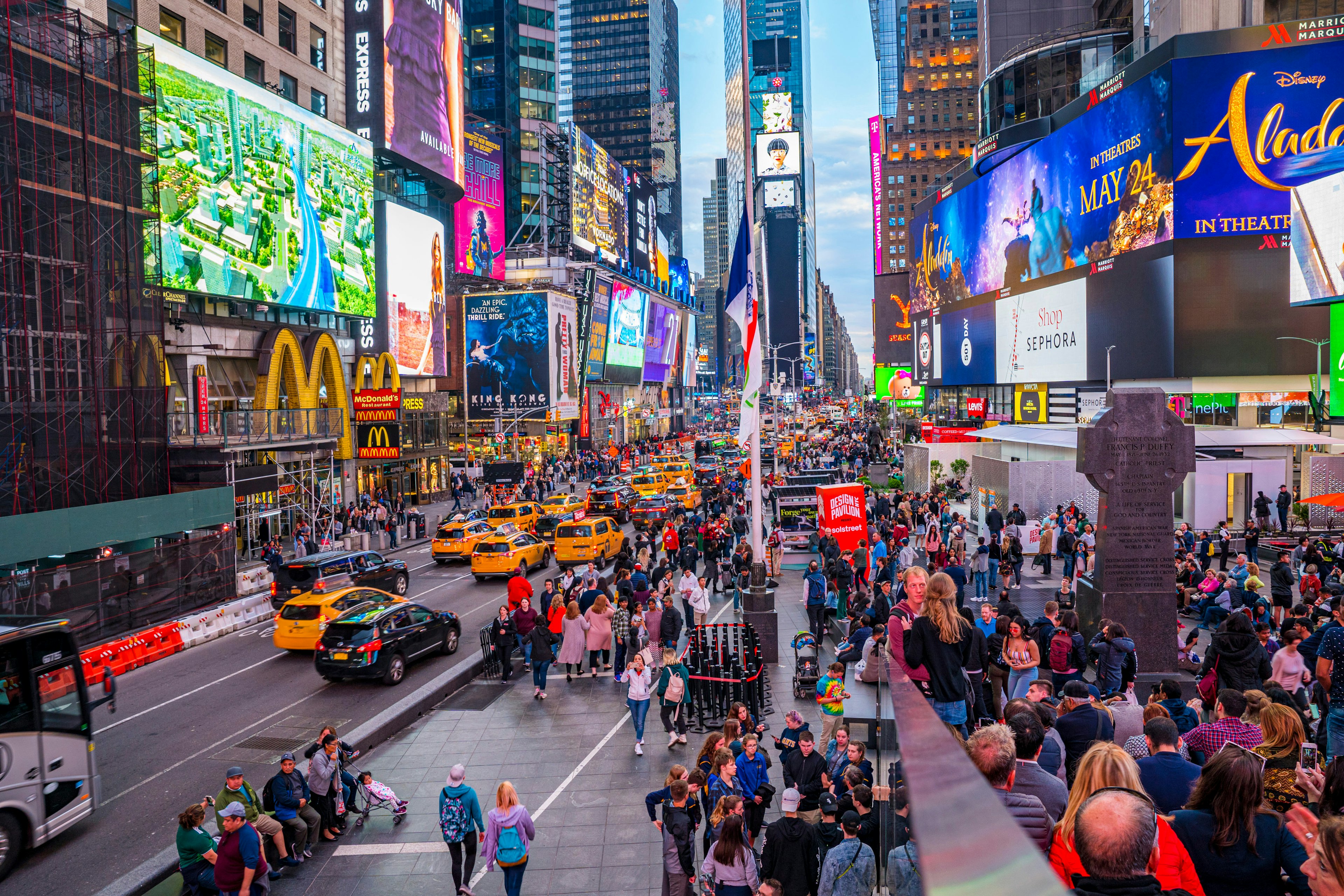
New York City’s extensive public transit system is a source of both pride and frustration among the city’s millions of residents. The city's subway system can be hot, stuffy and prone to delays, and navigating the city at street level becomes an icy ordeal in winter, and that's before you even mention the crowds.
The time of year will definitely be a factor in how you choose to get around – taking the subway in summer or walking in the depths of winter are both activities for people with high discomfort thresholds. On the other hand, in the city that never sleeps, you can get anywhere, anytime, thanks to night-owl cabbies and trains which run around the clock. That's a boast not many other cities can make.
Everyone thinks of yellow cabs and the subway when they think of NYC, but there are many more ways to see the city. Buses, ferries and commuter trains complete the public transit system, but getting around on foot can be one of the most rewarding ways to explore. Some adventurous, patient souls even get around by bike or car.
Best of all, public transit is inexpensive – combined with the many free things to do in NYC, this can help offset the painful cost of accommodations. Here's what you need to know to get around NYC.
Passes for public transit in NYC
To travel on any bus or train operated by the Metropolitan Transit Authority, fares cost $2.75 per ride, payable via MetroCard or OMNY, a touchless ticketing system introduced in 2019. Single-use MetroCards cost $3 and are not refillable; pay-per-ride cards can be funded by value or time, with seven- and 30-day unlimited-ride options available for $33 and $127 respectively. Kids less than 44 inches tall ride for free when they’re with a paying adult.
If you’re paying per ride, you get one free transfer within two hours of your first swipe (bus to bus or train to bus only). Once you exit through the subway turnstiles, you can’t transfer to another line or reenter the station without paying again.
An unlimited card gives you as many transfers as you’d like, but you can’t use it at the same station within 18 minutes of your first swipe, so individual or pay-as-you-go cards are the best options if you’re sharing with travel companions.
For contactless payment, log in to OMNY online and top up your account, then tap your contactless card or electronic device on an OMNY reader to pass through the turnstile.
Use the subway to travel between New York boroughs
With 25 routes covering more than 665 miles (1070km) of track, the New York City subway system is a behemoth, welcoming 1.7 billion riders on an annual basis. It’s operated by the MTA and covers Manhattan, Brooklyn, Queens, the Bronx, and Staten Island, though the latter’s trains don’t connect to the other boroughs directly (you'll need to reach Staten Island by bus or ferry).
Unlike in other major cities in the US, New York's subway trains run 24 hours a day, seven days a week. However, with the system’s advanced age – 28 stations date back to 1904, and signals from the 1930s are still in use today – it’s susceptible to more delays and breakdowns than locals would like. Countdown clocks now appear in every station, though, and construction is often scheduled for nights and weekends, so it’s easier to plan alternative routes to avoid scheduled closures.
To keep on top of service changes, anticipated or not, the MYmta app is frequently updated with information on each line, and it’s a handy tool for trip-planning in general, but Google Maps is even better for plotting a course, with integrated service info as well as details on stations, schedules, and the onboard experience. The MTA Twitter feed is also worth bookmarking for up-to-the-minute info on service disruptions and delays.
Tips for taking the subway: Standing on the subway without holding onto something is a rookie mistake. If you’re not familiar with the way the trains stop and start, it’s a good way to wind up in a stranger’s lap. Do everyone a favor and hold on to a pole – or even better, grab a seat and enjoy the ride.
Before you do, be aware that train cars with lots of empty seats may be empty for a reason. It could be a terrible smell or a mess on the floor, but trust us, you don’t want to know the details. You’re better off elbowing your way onto a crowded car or even waiting for the next train if you have to.
Exploring New York by commuter train
As well as the subway, NYC has a useful network of suburban trains, comprising the Long Island Rail Road (LIRR), Metro-North Railroad, NJ Transit and New Jersey PATH, which bring legions of commuters to Penn Station, Central Station, Secaucus and Hoboken. AMTRAK trains from further afield also run into Penn Station.
Fares depend on the line and length of the trip but the trains are a cost-effective way to reach outlying locations, including Newark Liberty International Airport, New Jersey and the beaches of Long Island. Metrocards can be used to pay for travel, or you can buy individual tickets and passes.

For a better look at the city, hop on the bus
The MTA is also responsible for the city’s buses, and its fleet includes nearly 6000 vehicles. While a small percentage are hybrid-electric and electric, more than half run on pongy diesel fuel – a situation the agency is looking to rectify in the coming years as it pushes to be fully electric by 2040.
For the most part, New York’s buses run on a grid, and routes cover uptown, downtown, and crosstown with stops on every (or every other) corner. There are stop-everywhere local services as well as express lines which eliminates local stops for a quick ride. The select bus service (SBS) is even faster but requires prepayment before boarding.
For a normal bus trip, pay the fare ($2.75) as you board with a MetroCard or exact change (coins only, no pennies). For SBS routes, buy your ticket before you board from one of the kiosks near your stop. You won’t have to show your ticket to the driver, but you do need to keep it for the duration of the trip in case of inspection – don’t lose it, or you could get hit with a hefty fine.
The MYmta app has timetables and service info for buses, and each bus stop has a QR code that’s scannable for arrivals, departures, and status updates.

Take the NYC ferries for panoramic views
The subway gets all the attention, but New York’s ferry system is a rewarding and much-underrated means of transportation. Seeing New York from the water is also a fun, low-cost addition to a day out with kids in tow.
The Staten Island Ferry runs from the Whitehall Ferry Terminal in lower Manhattan to the St. George Ferry Terminal in Staten Island. If you’re not looking to step foot on Ellis Island, it’s a great way to take in waterside views of the Statue of Liberty – and it’s absolutely free.
NYC Ferry connects communities across the city’s waterways, including the East River, South Brooklyn, the Rockaways, Western Queens, and the Bronx, with seasonal routes between Manhattan and Staten Island, Governors Island, and Coney Island. Tickets can be purchased from vending machines at the landings or via the NYC Ferry app; single-ride tickets for adults cost $2.75, and 30-day passes are $121.
NY Waterway operates between Manhattan and New Jersey, making stops in midtown, Battery Park City, and Wall Street before crossing the Hudson River and docking in Jersey City, Hoboken, Weehawken, and Edgewater. On weekdays, fares range from $7 to $21.50 for adults, depending on your route.

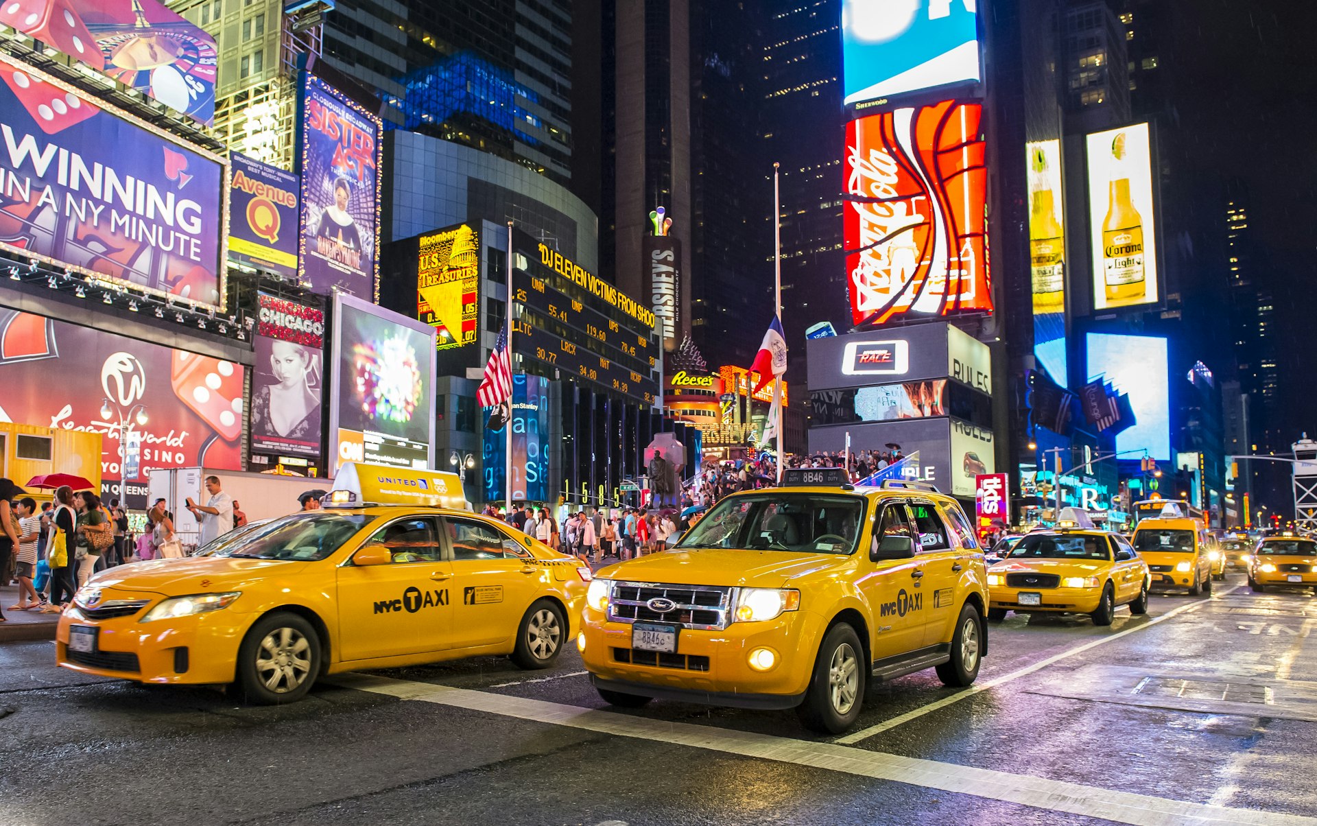
Getting around by yellow taxi is an iconic experience
Few things are more iconic than the swarms of yellow cabs flooding New York City’s streets. Cabs licensed by the NYC Taxi & Limousine Commission are metered, with fares starting at $2.50, plus $0.50 per mile if traffic is slow or stopped and $0.50 per 1/5 mile if it’s moving at least 12 miles per hour (19km per hour). There are also various surcharges depending on when and where you’re traveling, not including tolls and tip (customarily 15 to 20 percent).
To hail a cab, look for one with its rooftop lights on and raise your arm to signal for pickup; lights off are a sign that a taxi is occupied or off-duty. An assortment of apps, including Curb, Waave, and Myle, let you book rides with TLC-licensed cabs in advance. Be aware that green taxis operate in outer New York boroughs as well as yellow cabs.
It’s technically illegal for drivers to refuse to take you anywhere within the city limits, so push back if they tell you they don’t want to go to the outer boroughs.
Ride-sharing in New York
Uber and Lyft are both extremely popular in New York; rates undercut the yellow cabs and your ride will usually arrive after only a short wait. Via is another ride-sharing app that operates here, often with cheaper rates than its bigger-name brethren.
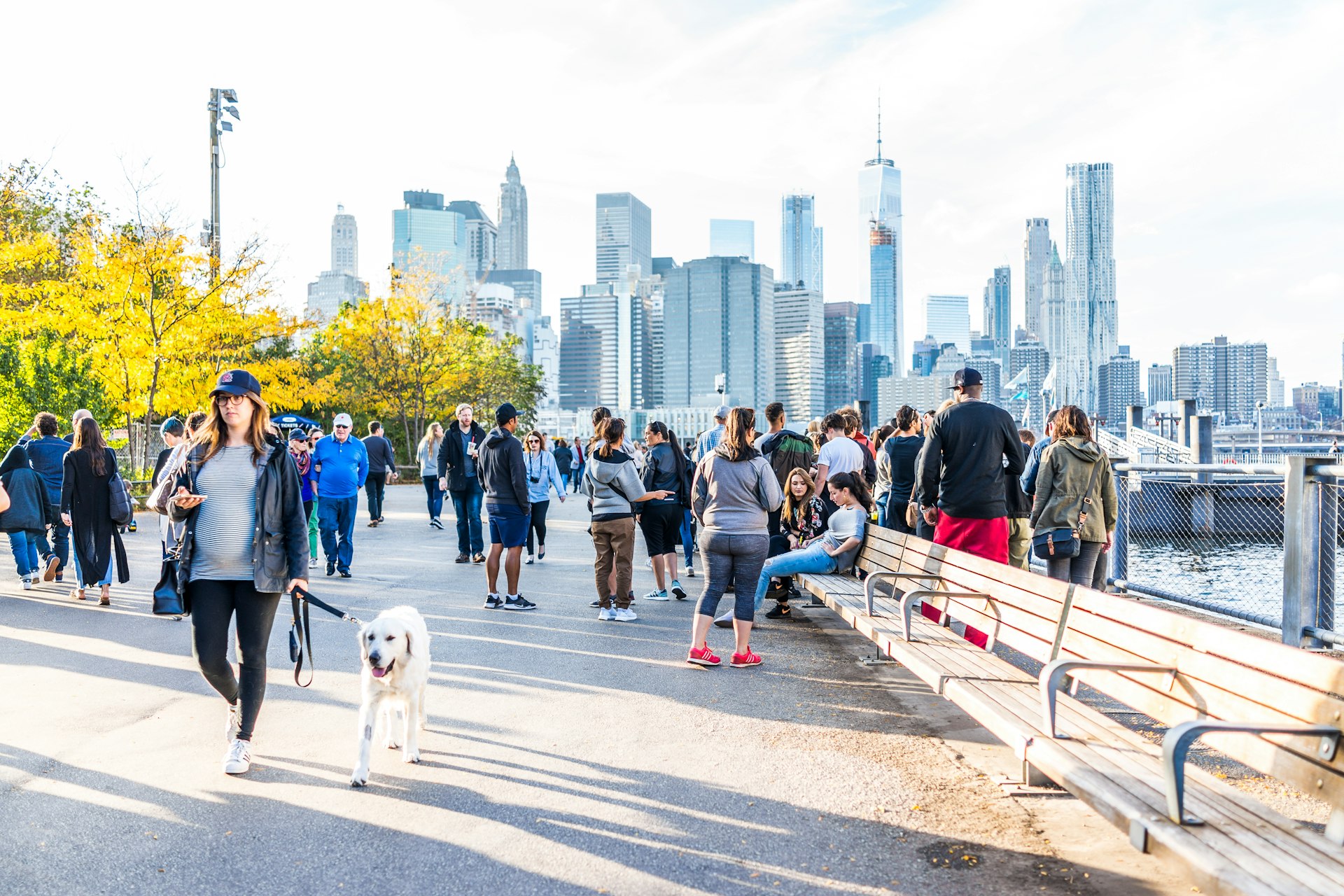
Get a real feel for NYC on foot
If you’re not in a hurry, traversing the city on foot is one of the best ways to see the sights. Pick a Brooklyn neighborhood and get lost in its side streets, or choose an avenue and follow it from one end of Manhattan to the next.
Just be aware of your surroundings – the sidewalks are so densely crowded that if you’re staring up at the skyline or down at your phone, or if you stop suddenly or change directions unexpectedly, you’re bound to collide with someone sooner or later. And New Yorkers are not shy about expressing their dissatisfaction with foolish tourists!
Sidewalk etiquette dictates that you walk no more than two people across when others are around – any more than that, and you’ll be blocking the flow of foot traffic in either direction. Note that winter brings chilly conditions for exploring at street level, made worse by icy winds and periodic dumps of heavy snow. Luckily, there are plenty of warm cafes and coffee shops to duck into when the cold bites.
Pedaling around NYC
With the introduction of dedicated cycling lanes and a popular bike-sharing system, New York has become more two-wheel-friendly over the years. But considering the chaos of the city’s streets, traveling by bicycle isn’t necessarily an activity for beginners – regardless of skill level or experience, a helmet is essential.
Bike-sharing scheme CitiBike has more than 1300 stations and 20,000 bikes within the city limits and across the river in Jersey City. A single 30-minute ride costs $3.50, and day passes cost $15 and cover as many 30-minute rides as you can handle in 24 hours; annual memberships are also available. Once you’ve purchased a pass, check the app to find the closest station, then pick a bike, scan the QR code on its handlebars, and get to peddling. You can also pay by card at any kiosk.
First things first: take safety seriously. Despite the city’s Vision Zero initiative to decrease traffic fatalities, thousands of cyclists are involved in accidents here each year, and with the extra cyclists on the road because of the pandemic, 2021 is expected to be the deadliest year since the program’s inception.
Read up on how to cycle like a pro before you go. There are some 1375 miles (2213km) of bike routes, but you’ll often find cars idling in dedicated bike lanes; keep an eye out for taxis pulling over to discharge their passengers – or drivers parking and getting out – if you don’t want to get doored.
If you don't fancy dealing with car and pedestrian traffic, saddle up and head for one of the city’s green spaces. Central and Prospect parks have paved loops popular with cyclists, and there’s a bike route that circles the entire island of Manhattan, covering 31 miles (50km) of the East River, Hudson River, and Harlem River greenways.

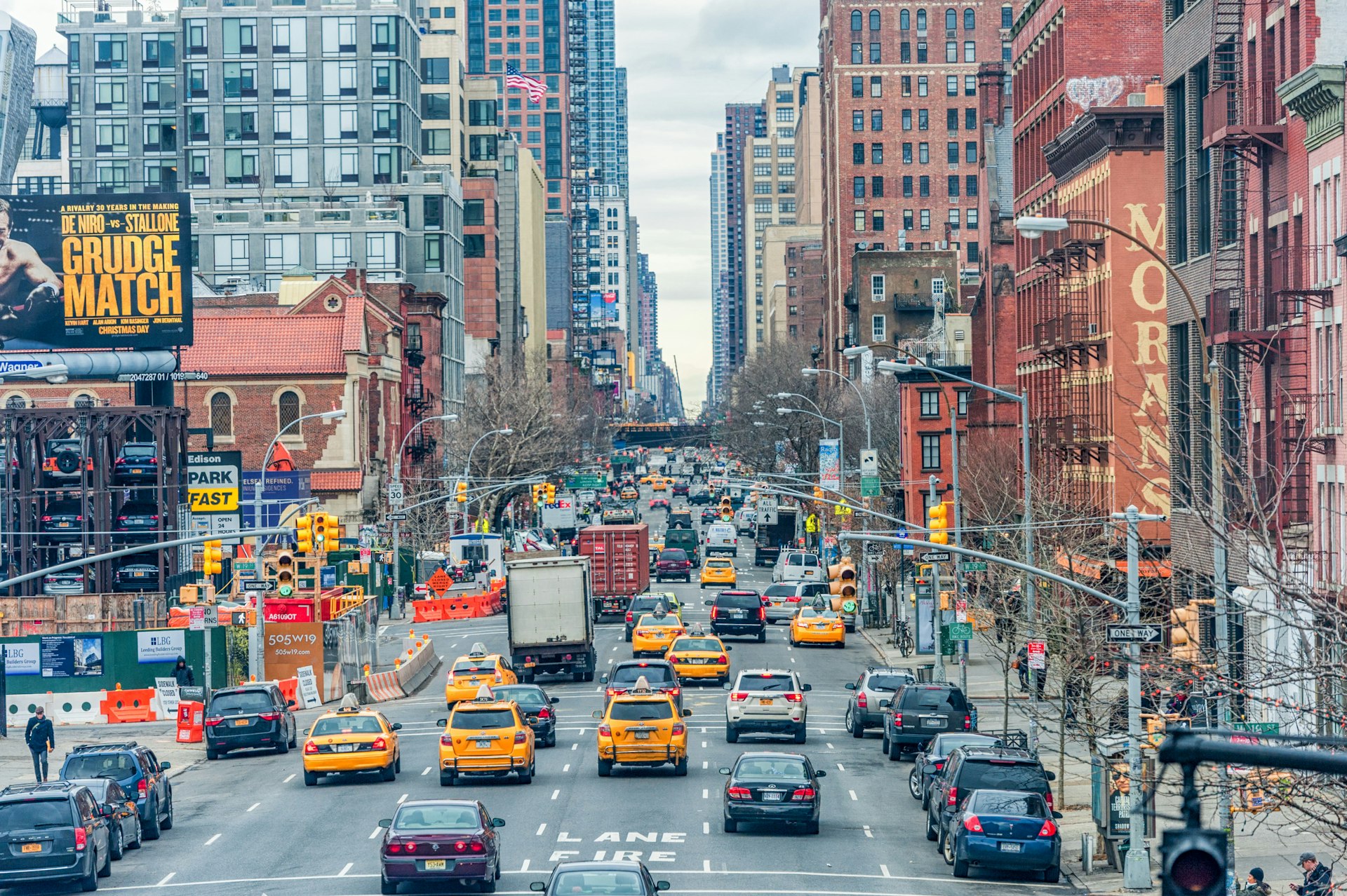
Driving tips for New York
Aside from walking, public transit is the least expensive method of transportation, but it can be crowded and unreliable. Driving gives you more flexibility and privacy, if you can afford it, and have the patience to deal with the traffic. Whether in a garage or on the street, parking spots command top dollar, while tolls to enter the city can run more than $10 a pop. A congestion-pricing plan is in the works, so those rates could soon increase during peak hours.
New York City’s drivers are not known for their patience, so if you get behind the wheel, be prepared for loud horns at every opportunity and bumper-to-bumper traffic in between. To traverse the city's streets as painlessly as possible, check Google Maps and Waze – both show traffic patterns in real time, and the latter displays police sightings as well.
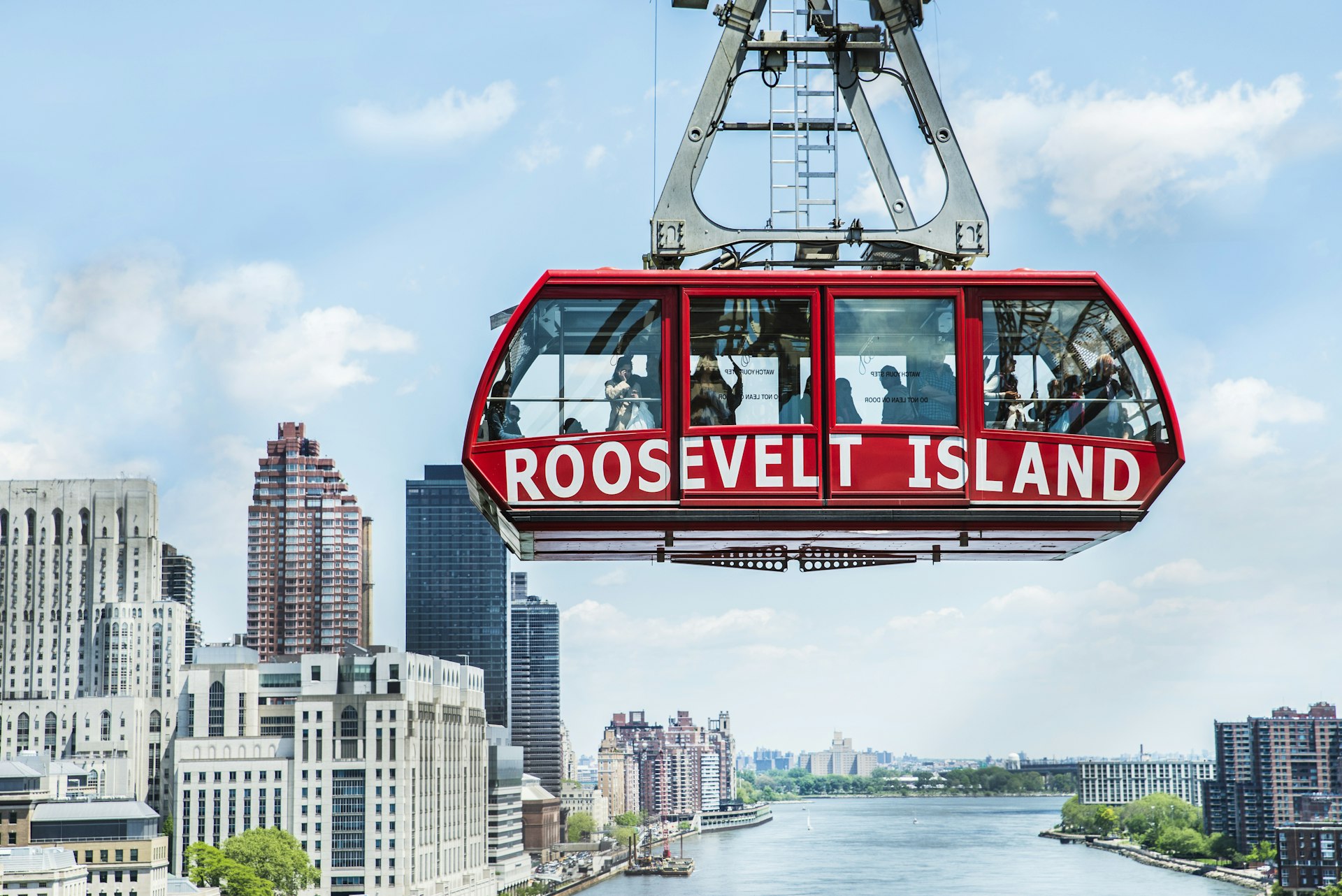
Visit Roosevelt Island on the tram
A tiny spit of land measuring just 1.75 miles (2.8km) in length, the East River’s Roosevelt Island was once home to hospitals, an asylum and a prison, and more focused on healthcare than leisure travel. But it’s recently been transformed into a fun urban getaway for the five boroughs, with historic architecture, green spaces, and unbeatable skyline views.
You can get there by subway, bus or ferry, but taking the aerial tram is half the fun. It departs every 7 to 15 minutes from 59th Street and Second Avenue in Manhattan, and costs just the swipe of a MetroCard.
Traveling to New York's airports
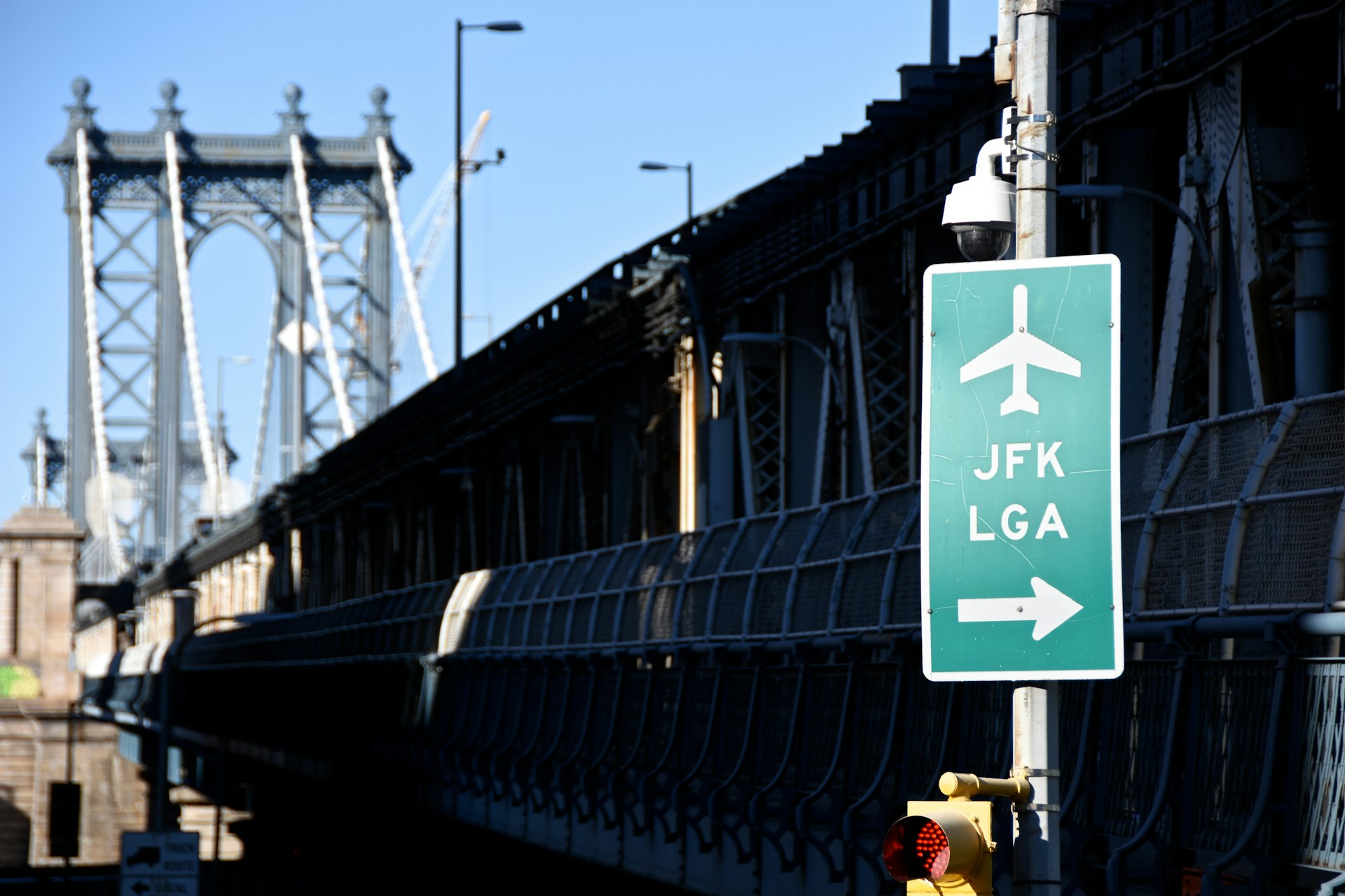
Getting to and from New York’s airports can be a daunting prospect, no matter how you choose to travel. John F. Kennedy, LaGuardia, and Newark airports are all accessible via public transit – subway being the cheapest way to get to JFK and LaGuardia – but none of them offer seamless no-change travel to downtown.
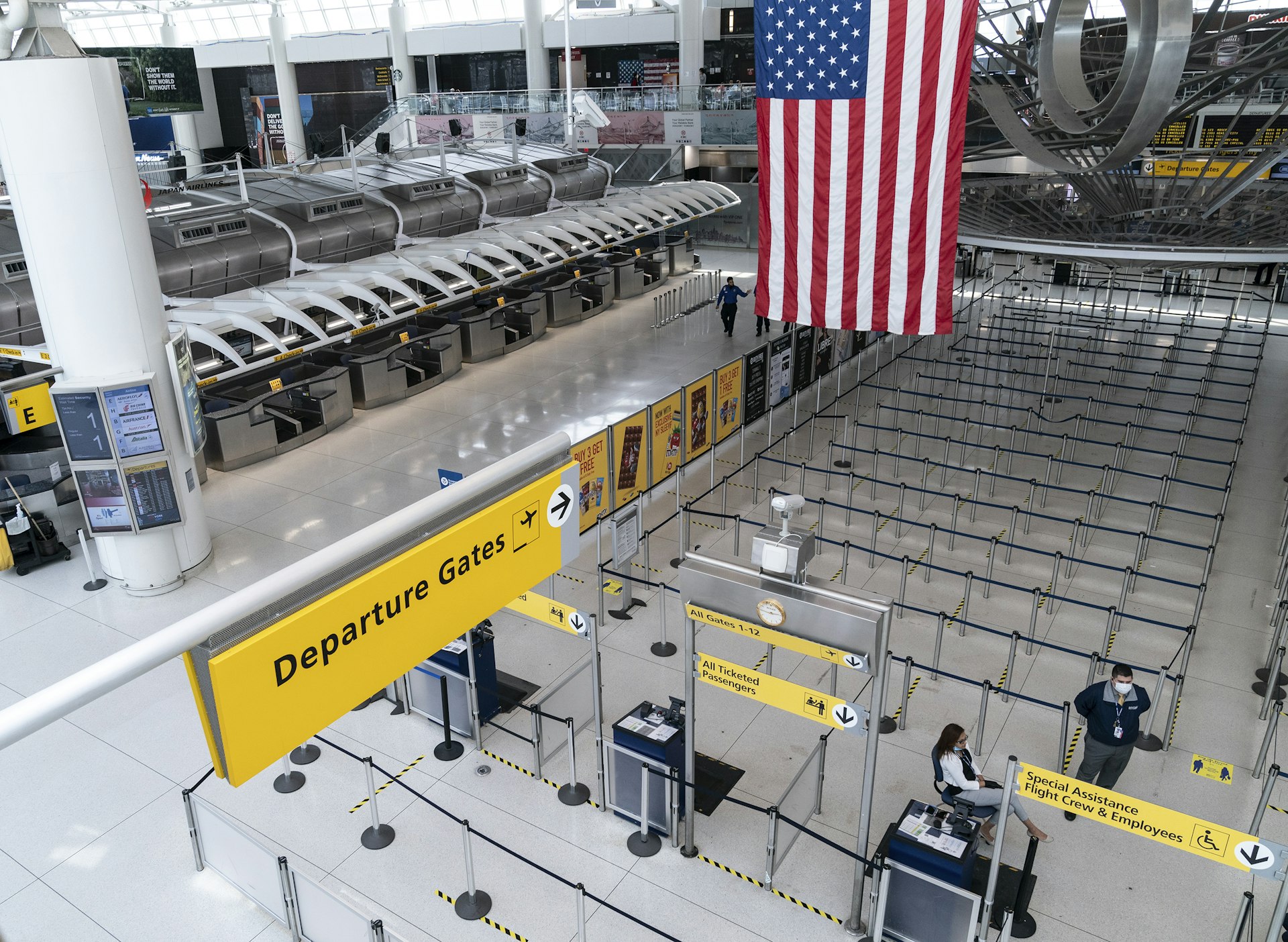
Getting to and from John F. Kennedy International Airport (JFK)
By subway or commuter train, you can connect to JFK via a dedicated airport shuttle. First, take the A train to Howard Beach or the E, J and Z to Sutphin Boulevard, or the Long Island Railroad (LIRR) to Jamaica Station, departing from Manhattan’s Penn Station or Brooklyn’s Atlantic Terminal.
From there, connect to the AirTrain – a shuttle that runs between the passenger terminals, airport parking lots, hotel shuttle pick-up areas, rental car centers, and public transit. The ride costs $7.75 to or from Howard Beach and Jamaica and must be paid by MetroCard. You can also take a city bus: the Q3, Q6, Q7, Q10, Q10 LTD and B15 lines all provide service to JFK.
There are designated spots for rideshare pickups and drop-offs at each terminal, as well as queues for yellow cabs. Taxis charge a flat rate of $52 – not including tip – for trips between JFK and Manhattan, plus a $4.50 surcharge on weekdays from 4pm to 8pm, a $0.50 tax for trips within New York state, and a $1.25 fee for pickups.
If you’re driving, JFK has one long-term parking lot as well as short-term lots at each terminal; the airport’s website has up-to-date info on availability for all. Short-term rates range from $4 per half hour to $42 for the maximum 24 hours allowed. The long-term rate is $20 for the first 24 hours, then $10 for each 12-hour period that follows.
Getting to and from LaGuardia Airport (LGA)
By subway, take either the 7 train to 111 St/Roosevelt Ave and connect to the Q48 bus; the 7, E, F, M and R trains to 74 St/Roosevelt Ave and connect to the Q47 bus; or pick up the M60 SBS bus in Manhattan, which connects to the 2, 3, 4, 5, 6, A, B, C and D subway lines at 125 Street, the 1 line at 116 Street, and the Metro-North Railroad at Harlem-125 Street.
The Q70 SBS also stops at LGA, with connections to the 7, E, F, M and R lines at 74 St/Roosevelt Ave and the LIRR’s Woodside station at 61 St/Roosevelt Ave.
There are designated spots for rideshare pickups and drop-offs at each terminal, as well as queues for yellow cabs. Taxi fares are metered to and from LGA; there’s also a $1 surcharge on weekdays from 4pm to 8pm and a $0.50 surcharge between 8pm and 6am; a $0.50 tax for trips within New York state, and a $1.25 fee for pickups. Tips are not included.
There are parking lots and garages at all four LGA terminals. Rates range from $5 for the first half-hour to $45 for the 24-hour maximum.
Getting to and from Newark Liberty International Airport (EWR)
The fastest route is typically taking the NJ Transit or Amtrak to the Newark Airport stop, then the AirTrain to your terminal. It’s about a 25-minute ride from Penn Station via NJ Transit; you can shave a little time off the trip with Amtrak.
If you're not in a hurry, you can also catch the PATH train from the World Trade Center stop, at Fulton Center in Lower Manhattan, to Newark Penn Station. From there, switch to an NJ Transit train (this is a separate fare; purchase your ticket in advance with the app, or allow time to buy from a kiosk when you arrive), then transfer to the AirTrain.
You can also take the PATH to an NJ Transit bus, local or express – a longer but cheaper option, as well as an accessible one. NJ Transit trains only run between 6am and midnight, so you should plan to use the PATH or the #62 bus if you’re traveling early or late.
By taxi, there’s a $5 surcharge from the airport to practically any destination in New York state on weekends (12pm to 8pm) and during weekday rush hours (6am to 9am; 4pm to 7pm), as well as a $1.25 fee for pickups, a charge for each piece of luggage 24 inches or bigger, and a $5.50 surcharge for all credit card transactions.
And don’t forget about the tolls: whether you’re driving yourself or taking a cab, the Port Authority charges a fee to enter New York by bridge or tunnel, from $11.75 per car at off-peak hours. Traveling to New Jersey is always toll-free. Since the pandemic, many toll plazas have suspended cash payments or gone fully cashless on a permanent basis, so you – or your driver – will need an E-Z Pass, unless you want to get hit with the bill later.
At EWR, there’s short-term, daily, and economy parking, with costs ranging from $4.25 per half hour to $44 for the 24-hour maximum. Check the airport’s website for lot availability before you leave.
Accessible transport in NYC
New York’s subway system can be difficult to navigate for travelers with disabilities, even given the MTA’s recent push to become more accessible. Out of 472 stations across the five boroughs, only 130 are currently ADA-compliant with street-level ramps or elevators.
Braille and raised-lettering signage does appear at most street-level entrances, while service changes and PSAs are announced visually and over a loudspeaker. There is an accessible boarding area near the middle of the platform – that’s where the conductor’s car usually stops, and where the gap between the platform and the train is the narrowest. The MYmta app keeps track of elevator and escalator outages system-wide.
Bus transit can be a better option. The driver can lower the bus or let down a ramp or lift for wheelchair users, then secure the chair or scooter in place; once on board, priority seating is available for seniors and passengers with disabilities. Service animals are allowed system-wide, as long as they’re kept on a leash.
Wheelchair-accessible taxis are also available, either by dispatch, car service, ride-share app, or flagging them down in person. The Accessible Dispatch Program has an app and a website; you can also book a ride by phone. Ride-sharing apps like Curb and Myle are licensed by the TLC and give passengers the option of requesting wheelchair-accessible vehicles.
For more online resources for accessible travel, visit Lonely Planet's Accessible Travel portal.
You might also like:
New York City's 8 neighborhoods to experience in winter
New York's best museums to explore
Why winter is the perfect time for a trip to NYC

